LiCopter P720
Survey-grade LiDAR mapping, engineered for industrial scale — built to fly further, capture finer, and endure the field.
Key Highlights
Built for the demands of industrial mapping
Endurance, safety, and indigenous sensing in one airframe — validated on live deployments across six sectors.
LONG ENDURANCE
Up to 45+ minutes of flight time with LiDAR payload, enabling greater data capture in a single mission.
ADVANCED SAFETY
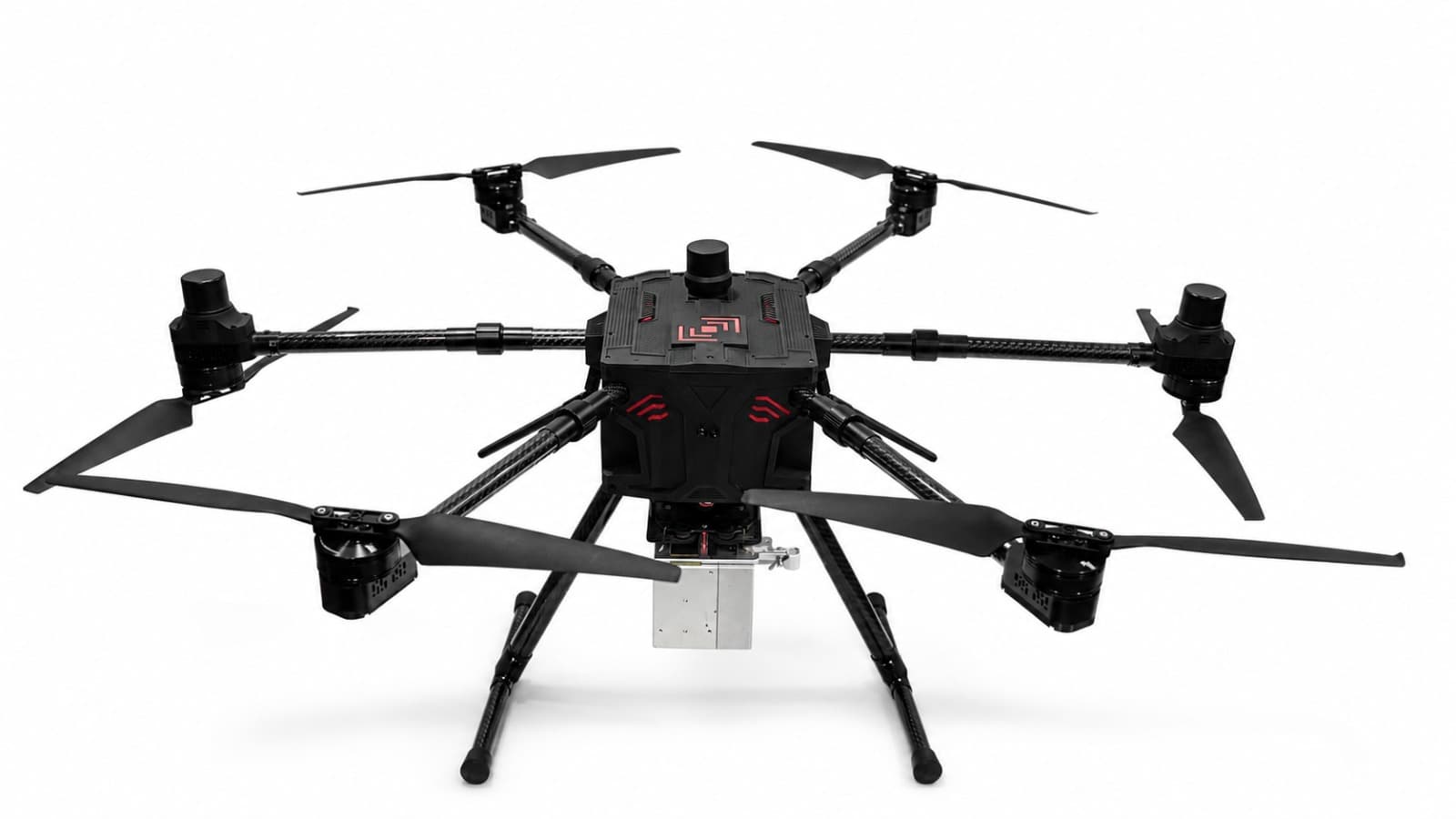
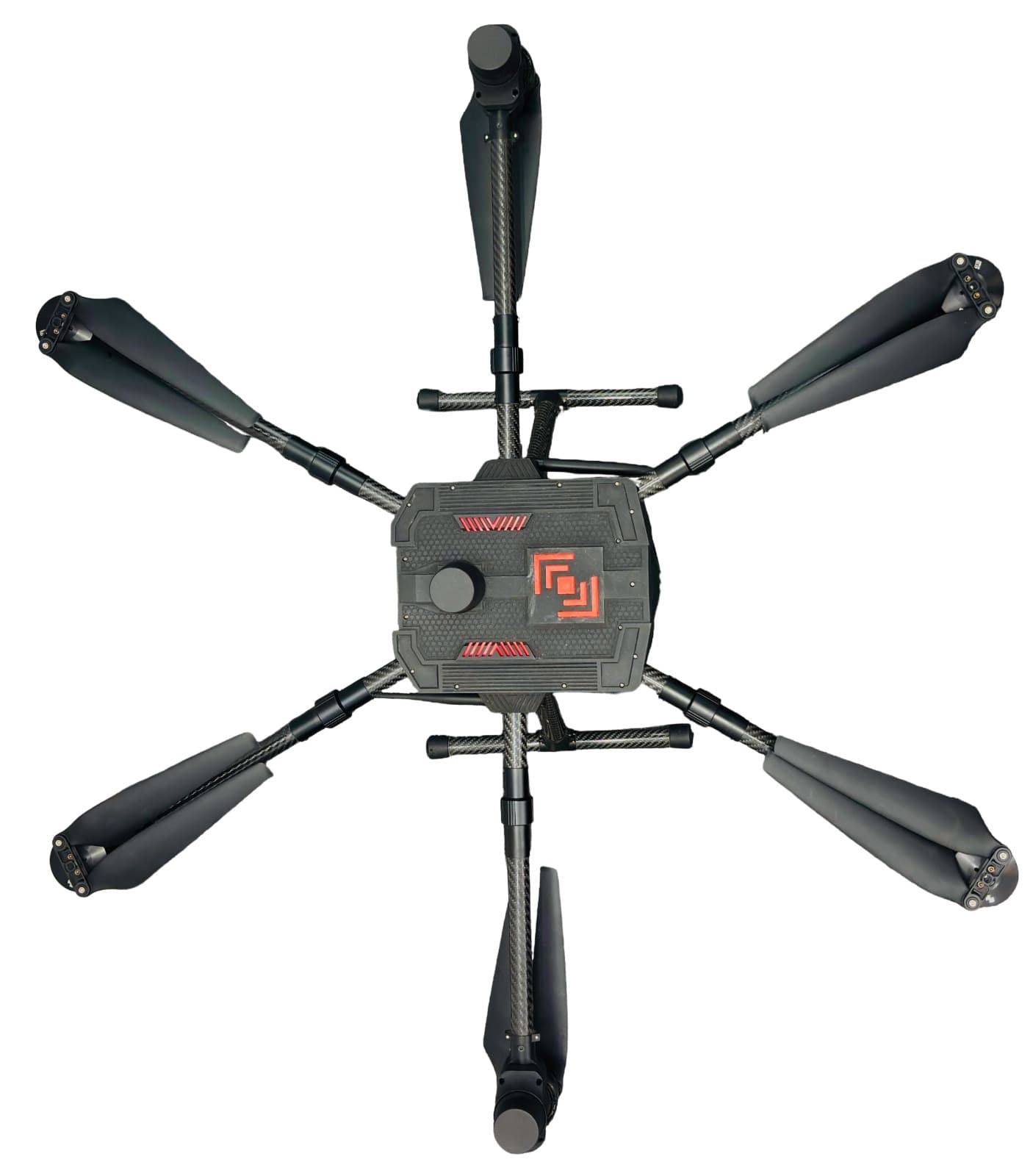
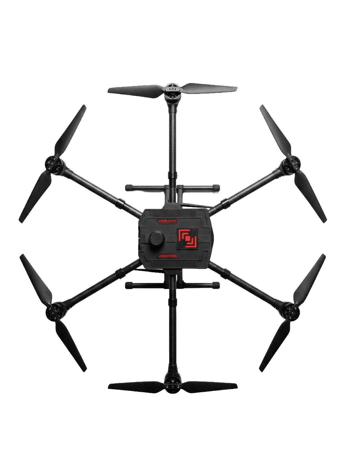
Compact foldable design (900mm to 450mm) with an integrated detect-and-avoid system for enhanced safety.
STABLE ORIENTATION
Sensor fusion yaw control ensures stable flight, even in high electromagnetic interference environments.
INDIGENOUS LIDAR
Indigenous LiDAR seamlessly integrated with IMU and GPS for precise and reliable data acquisition.
EASY DEPLOYMENT
Terrain Desk Capture enables rapid deployment with user-friendly workflows and proven flight SOPs.
LIFETIME SUPPORT
Flexible multi-year support plans with lifetime online assistance for subscribed customers.
Product Overview
Multi-sensor intelligence for true 3D reality capture
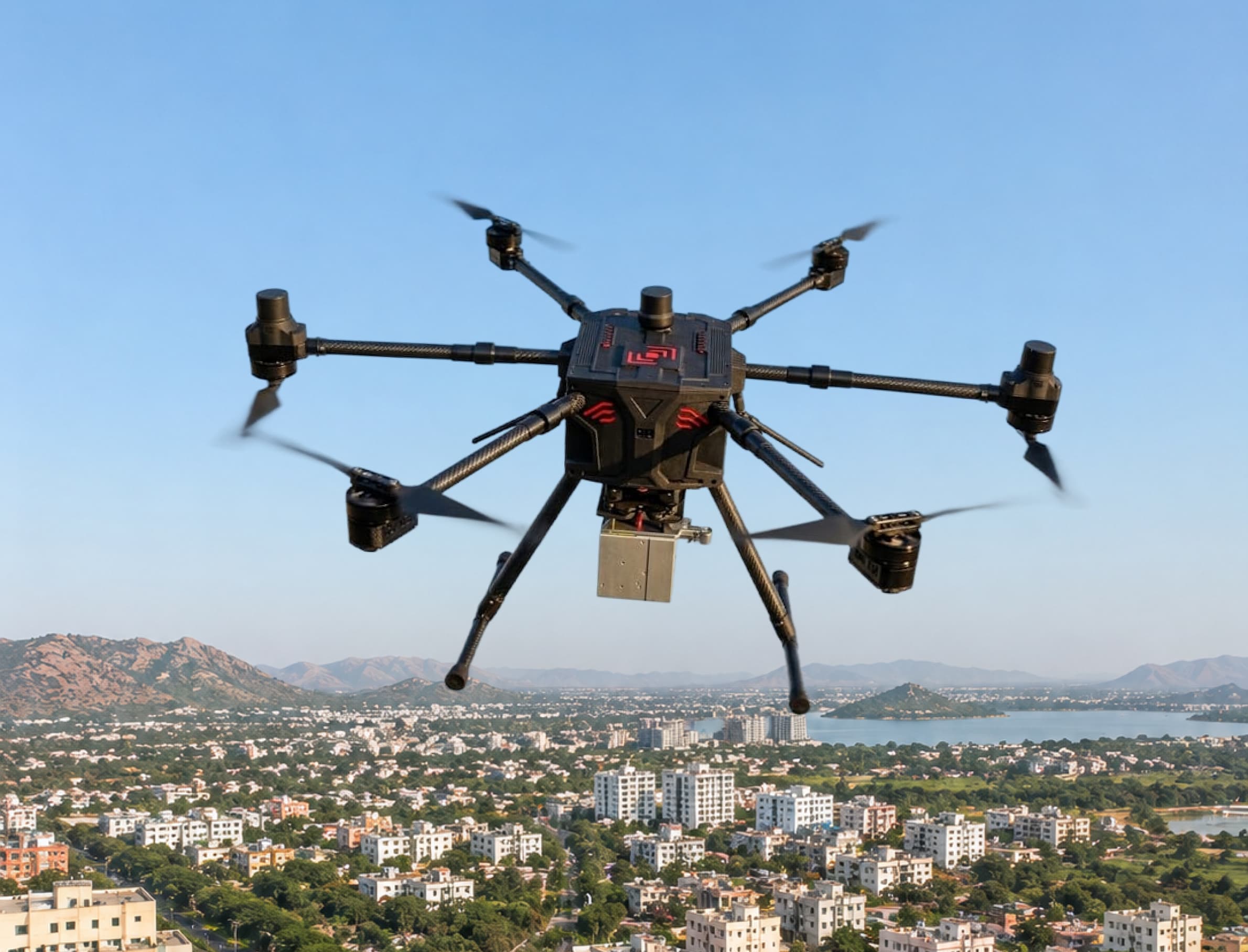
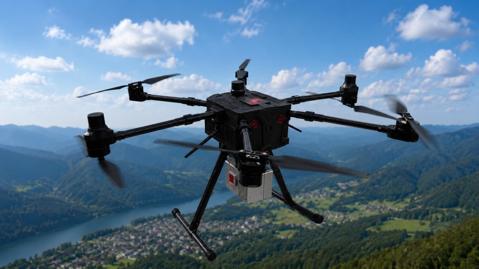
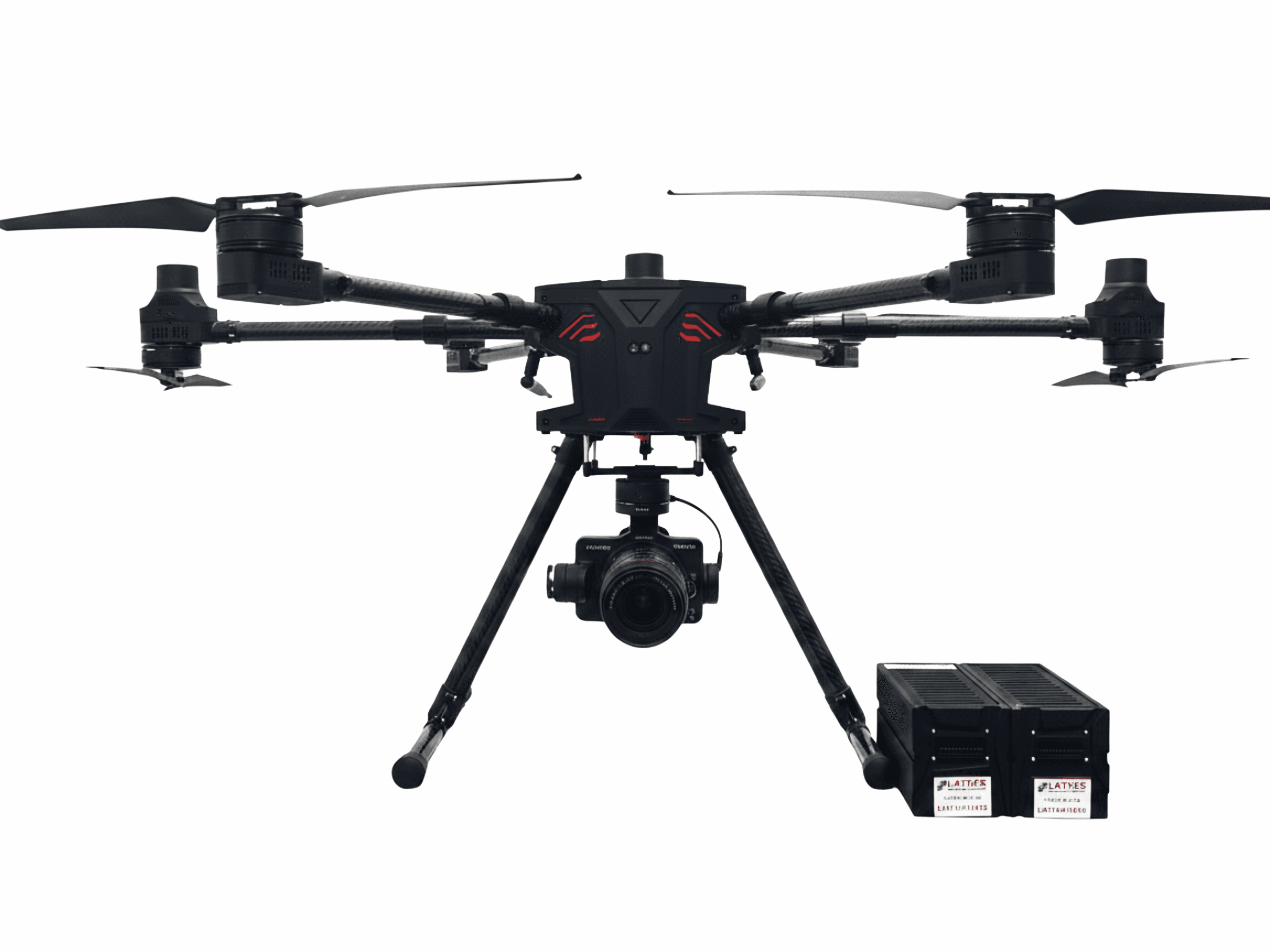
An indigenous, DGCA type-certified LiDAR drone, designed and made in India. The LiCopter P720 pairs an indigenous LiDAR seamlessly integrated with IMU and GPS, deployed across mining, mobility, urban development, energy, water, and emergency response — wherever most platforms can't reach.
FIELD-READY DURABILITY
Field-ready durability
Compact foldable design (900mm to 450mm) with an integrated detect-and-avoid system, rated for -20°C to 55°C operation across mines, highways, and remote terrain.
Industry Applications
One platform, Infinite possibilities
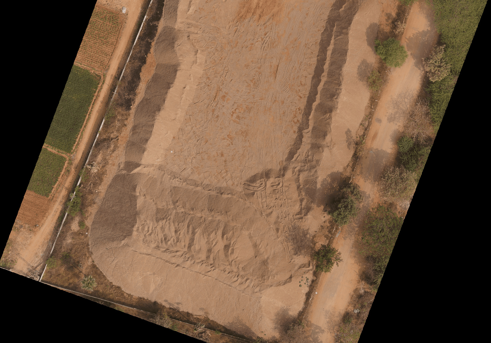
Mining
STOCKPILE • PIT PROGRESSION
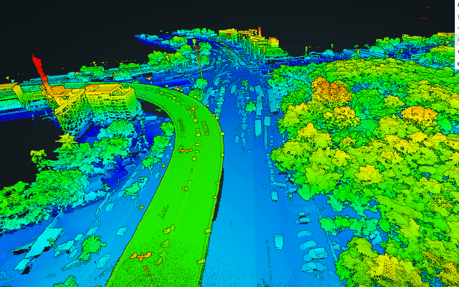
Highways & Railways
CORRIDOR MAPPING • INSPECTION
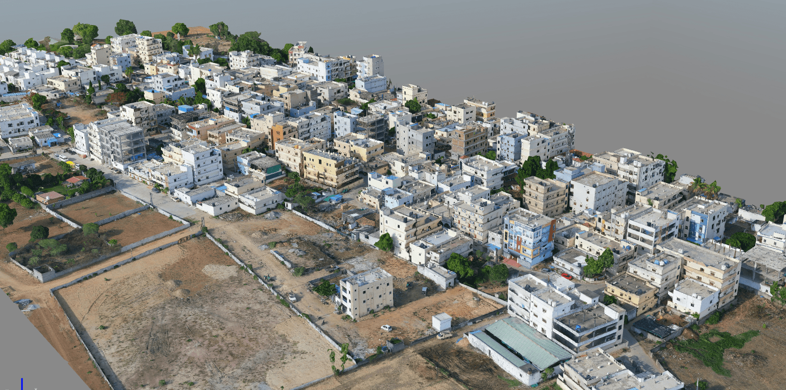
Urban Development
CITY PLANNING • 3D MODELING
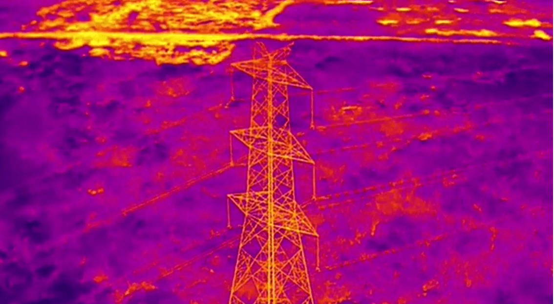
Energy & Utilities
SOLAR • TRANSMISSION
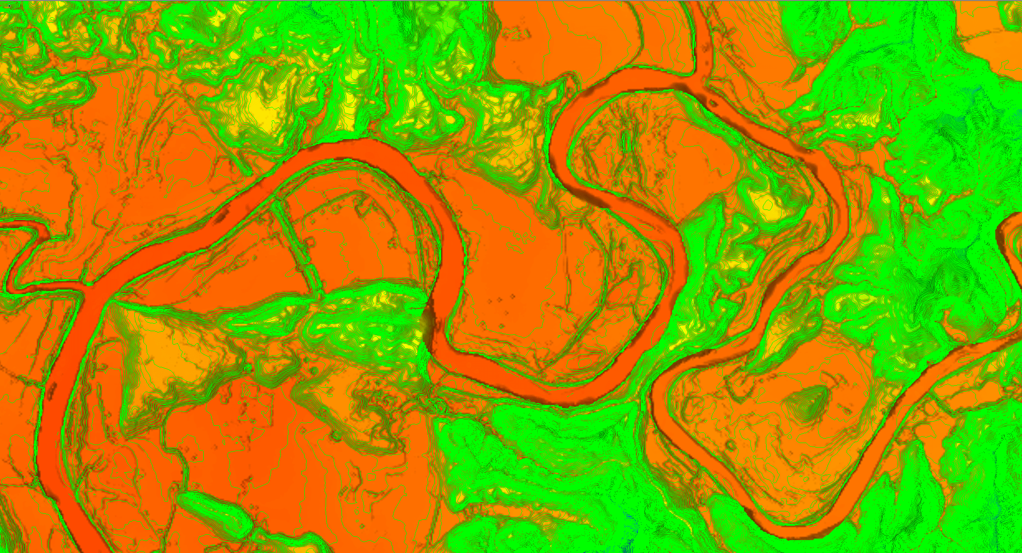
Water Resources
HYDROLOGY • BATHYMETRY
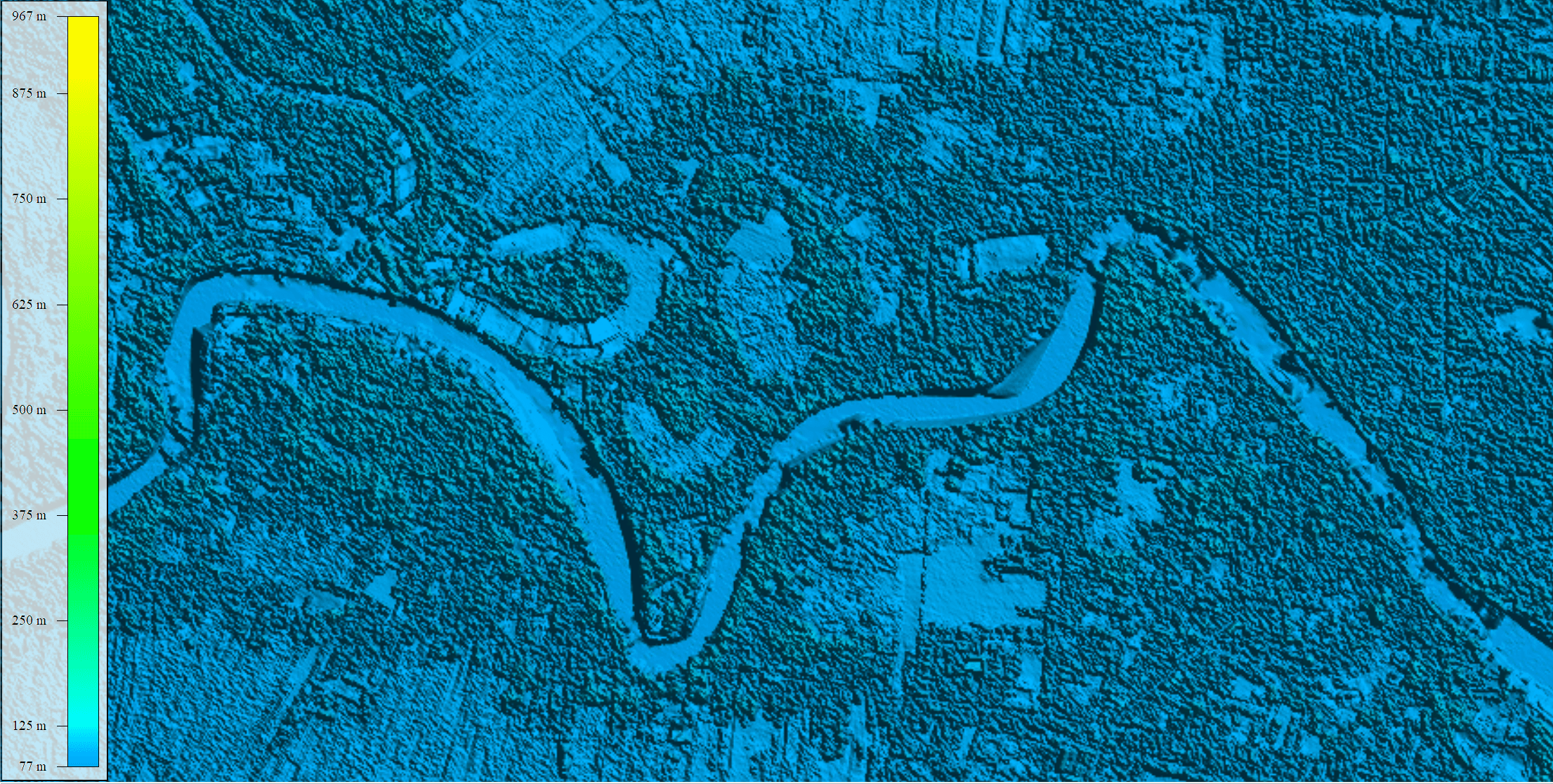
Emergency Services
DISASTER MAPPING • RESPONSE
FIELD VALIDATED
Licopter P720 Workflow
End-to-end aerial mapping workflow powered by LiDAR and high-resolution sensors for accurate, reliable geospatial intelligence.
PLANNING & MISSION PREP
DATA CAPTURE
DATA TRANSFER
PROCESSING
ANALYSIS & OUTPUTS
DELIVERY & INTEGRATION
Performance & Accuracy
Numbers that hold up in the field
Gallery
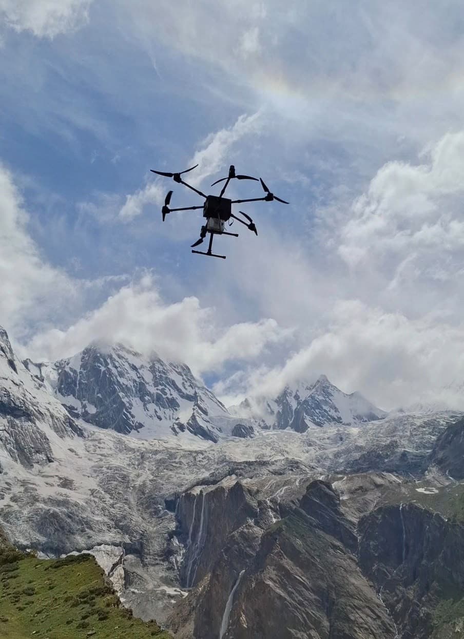
In the field
Accessories & Payloads
Modular by design

61MP Camera Payload
Up to 45-min flight time, covering 1.2km² per flight at 100m altitude
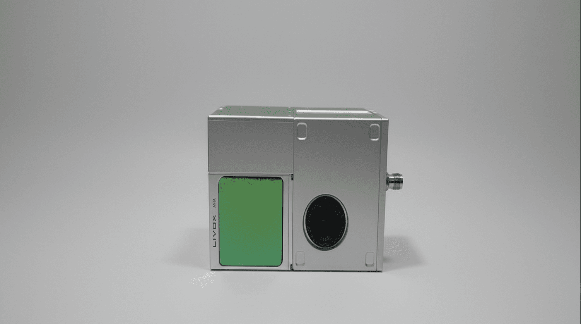
LiDAR Payload
Up to 40-min flight time, covering 1km² per flight at 100m altitude
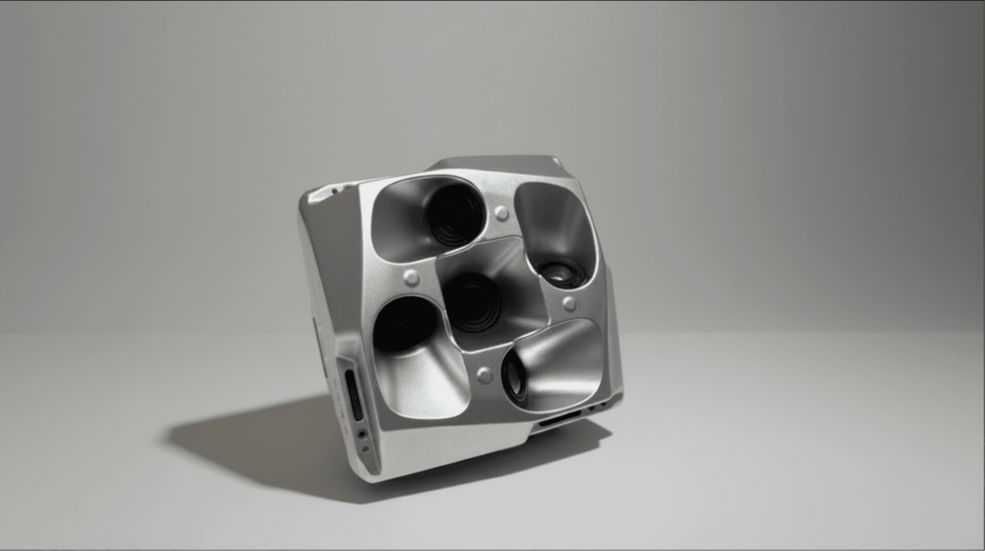
Oblique Camera Payload
Up to 45-min flight time, covering 1.2km² per flight at 100m altitude
FAQs
Common questions
The platform is DGCA Type-Certified for commercial BVLOS operation under Indian civil aviation regulations, cleared for fleet and field deployment nationwide.
With its 60-minute endurance and advanced flight planning software, the LiCopter P720 can typically map up to 1,200 hectares per flight day depending on the payload and mission profile.
Yes, the modular payload bay features a tool-less quick-release mechanism, allowing operators to swap between LiDAR, RGB, and multispectral sensors in under two minutes.
We offer comprehensive pilot and payload operator training, along with 24/7 technical support and access to our Latrics field engineering team for complex deployments.
Yes, we offer flexible leasing and financing options tailored for enterprise and government clients to scale their drone programs efficiently. Contact sales for details.

Book a demo
See LiCopter P720 fly in your terrain
Schedule a live demonstration with our field team, or talk to sales about deployment and pricing.

CHANNEL PARTNER PROGRAM
Grow your business with Latrics
Resell, integrate, or deliver our drone, LiDAR, and Terrain Desk platform — backed by training, marketing, and technical support.